本郷ms.jpg)
Edo Urban Axis
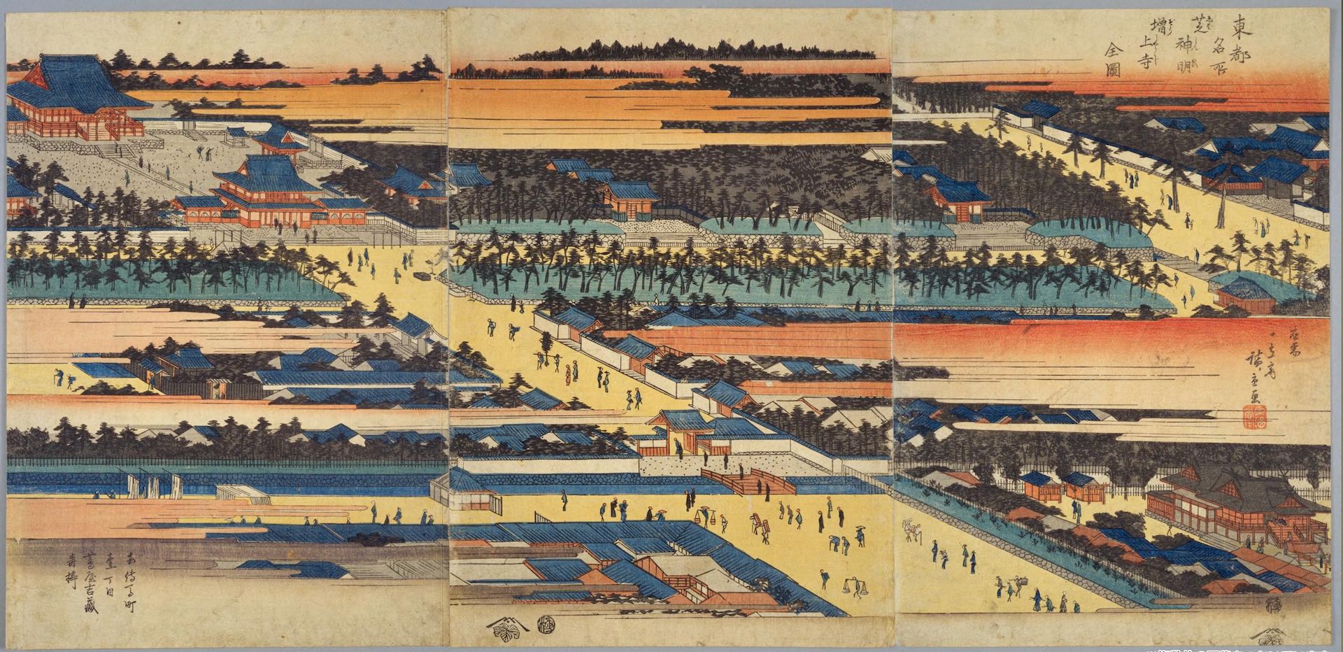
The area around Edo Castle was mostly samurai land, with temples and shrines such as Kan’eiji Temple and green spaces in the surrounding area.
Downtown area which was the source of Edo’s vitality, were created in the present-day Ginza and Nihonbashi neighborhoods, suggesting a clear urban planning.
In principle, this townspeople’s area, which was created by creating Hibiya-Irie, was designed as a square block of 60 square meters between Kyoto and a meeting place of 20 square meters in the center of the block.
This 20-room Kaishochi was a “play space”, so to speak, in the surrounding dense residential environment.
It is similar to a square in Western Europe, but the big difference is that it is an isolated area surrounded by the surroundings.
It seems that this kaishochi did not function well in the life of those days, and it was used as a final disposal site for sewage that flowed from houses and as a dumping ground.
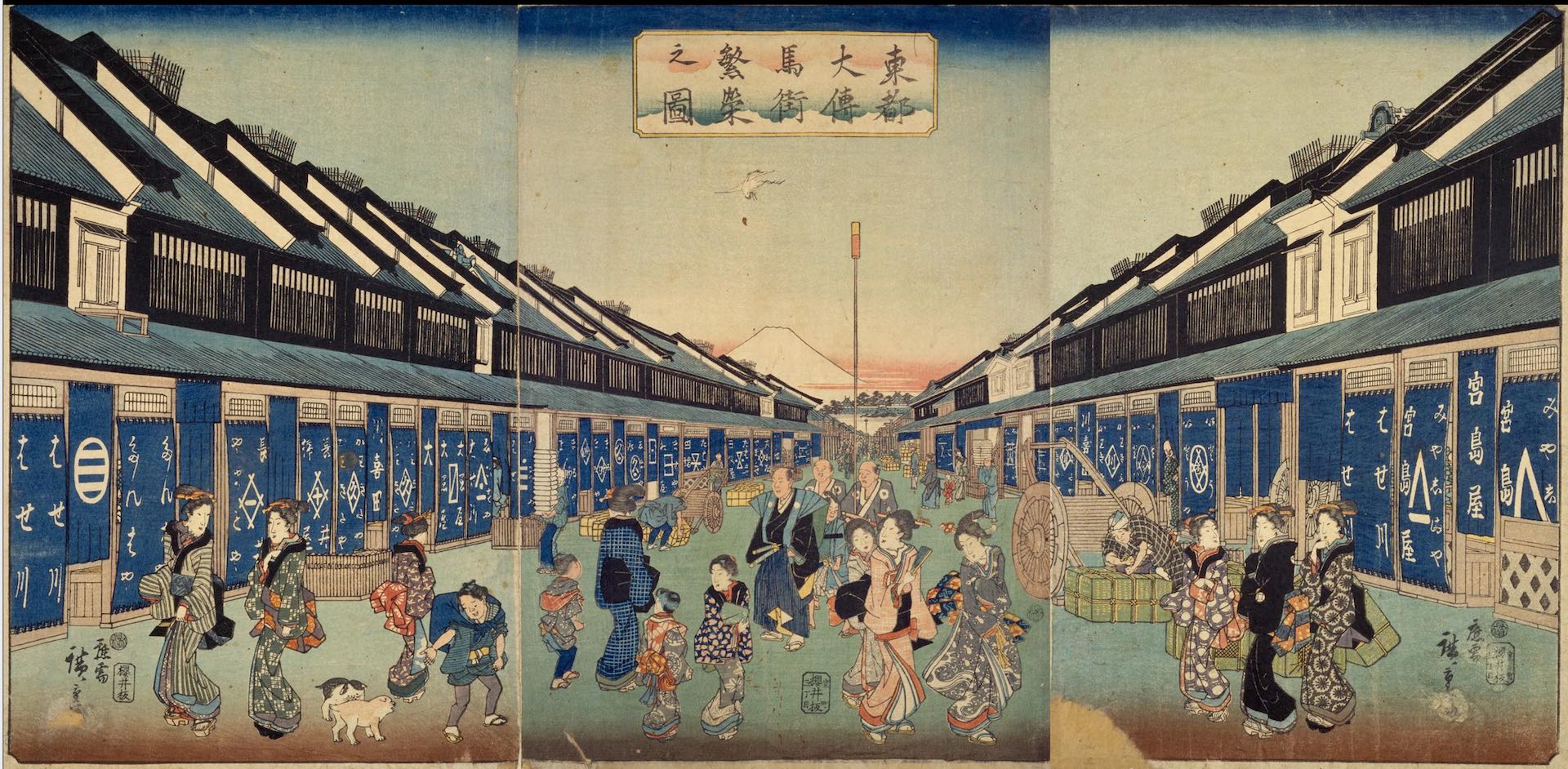
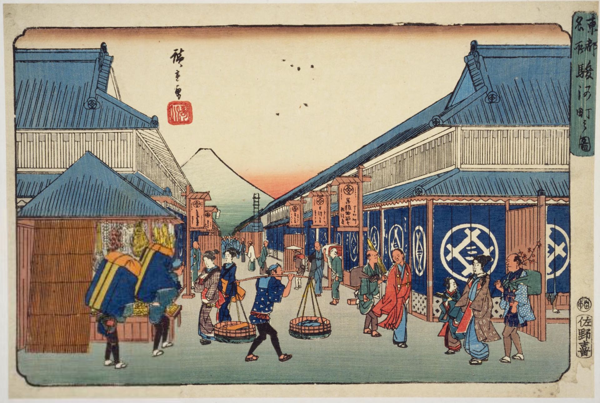
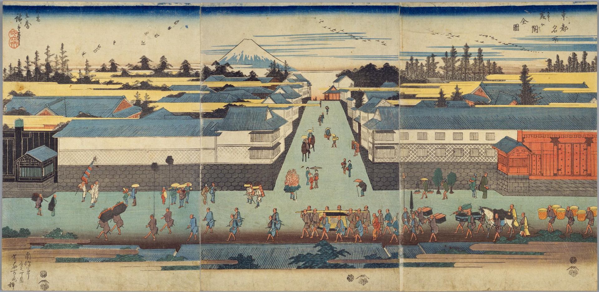
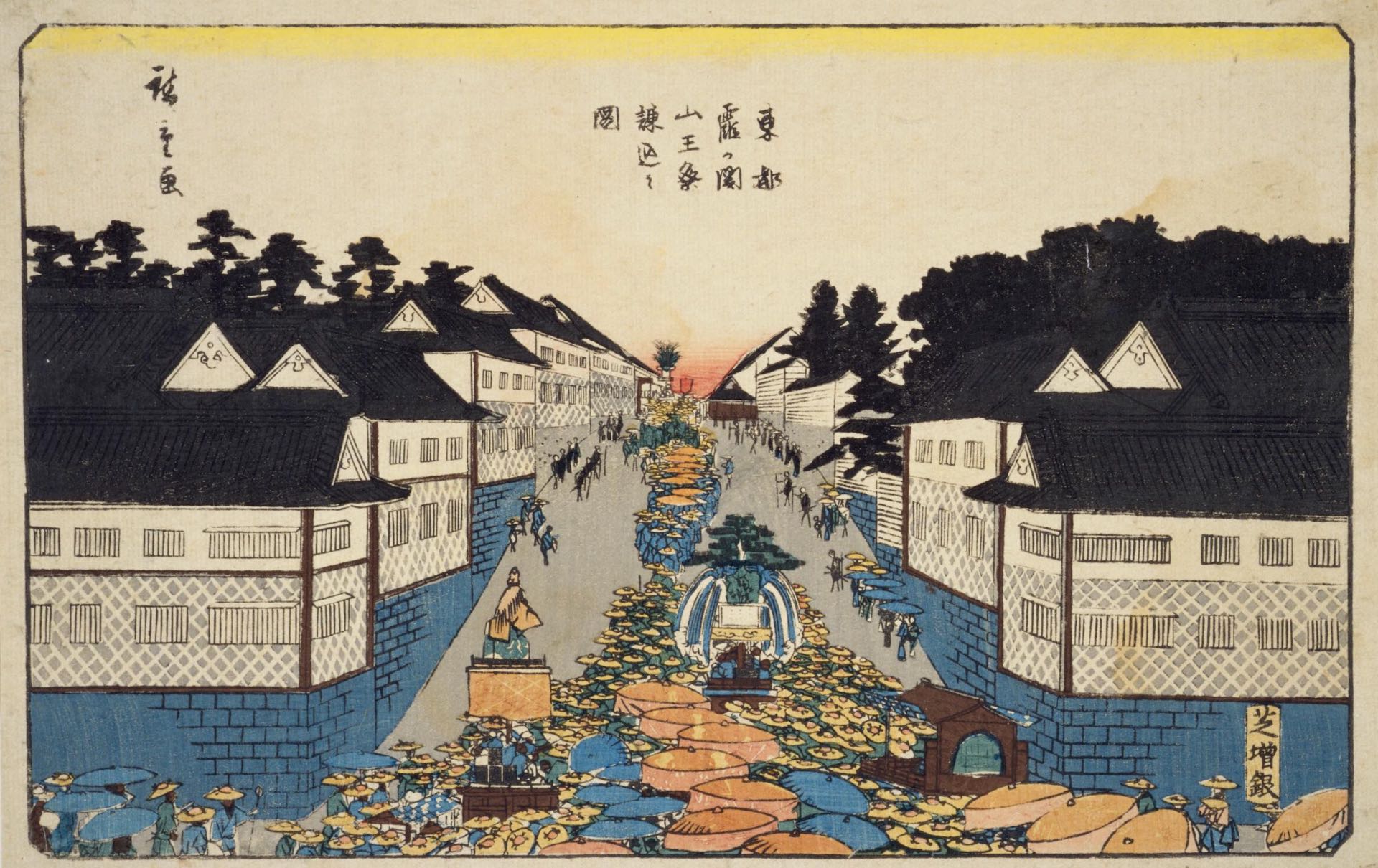
“There was a great deal of planning in regards to the scenery of Edo.” It was clearly intended to be a vista facing Edo Castle Keep and Mt. Fuji.
For example, Honmachi-dori, which runs from Tokiwabashi, which was the cornerstone of the town division, to Asakusabashi. Here, it was set so that Mt.
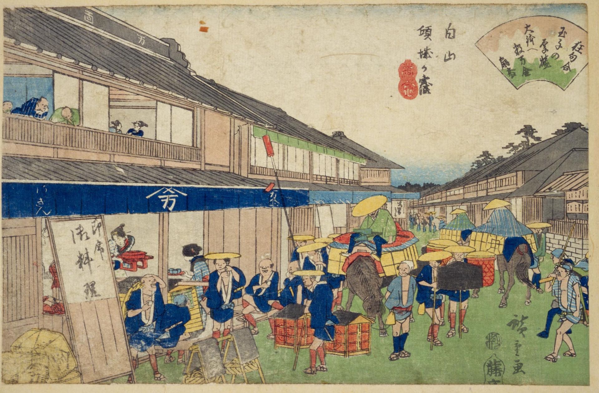
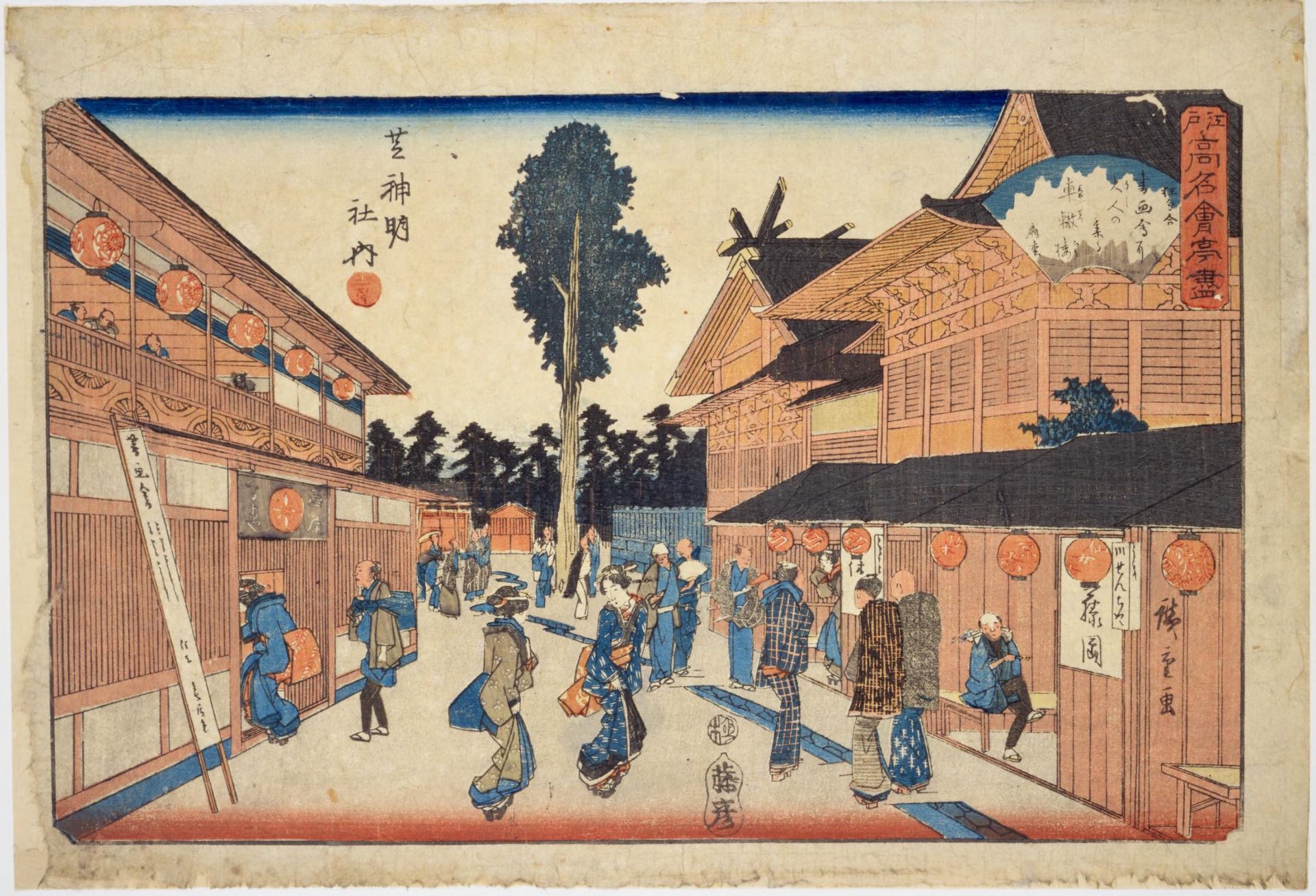
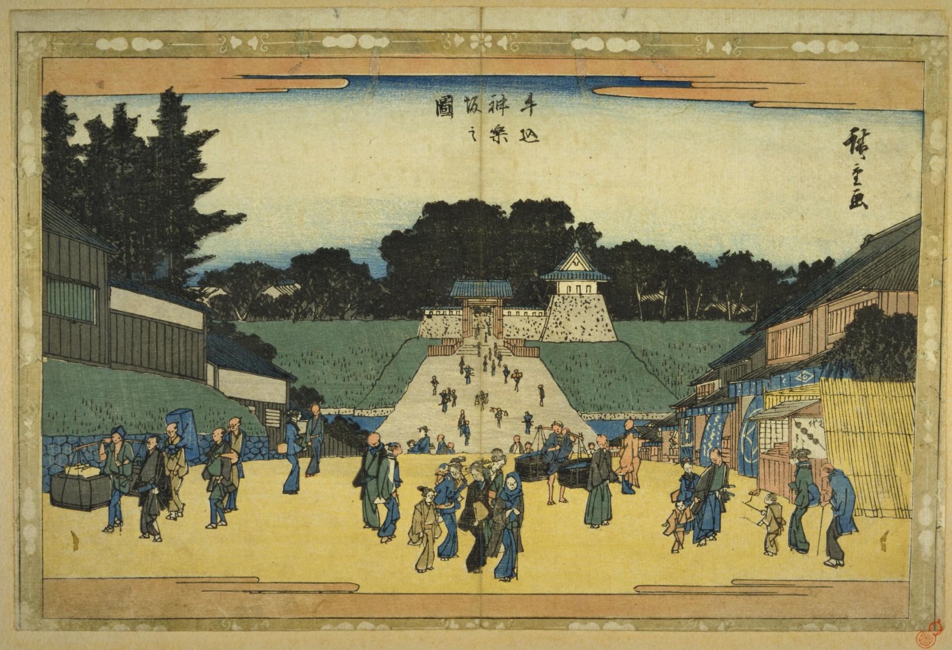
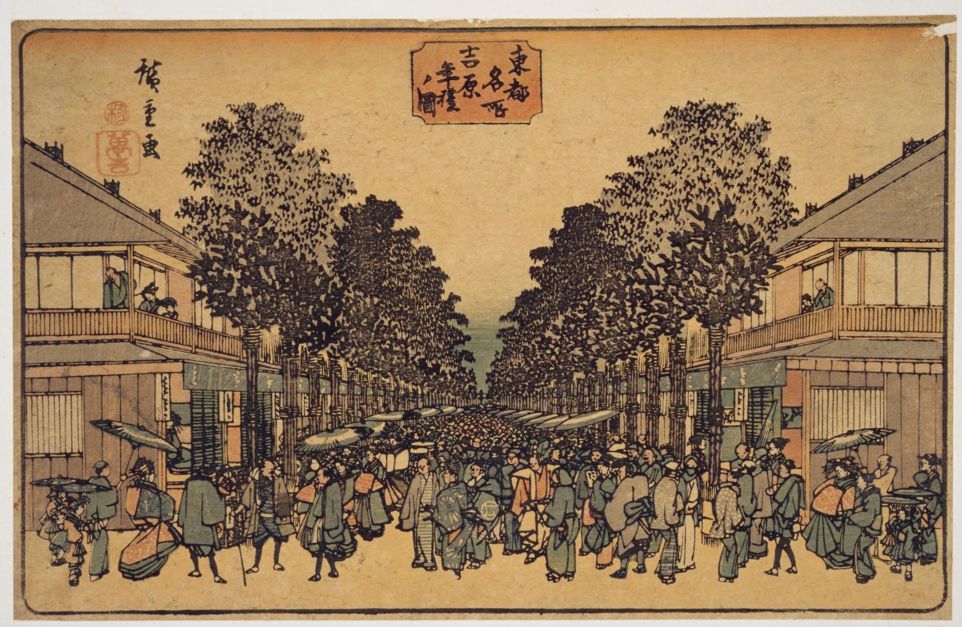
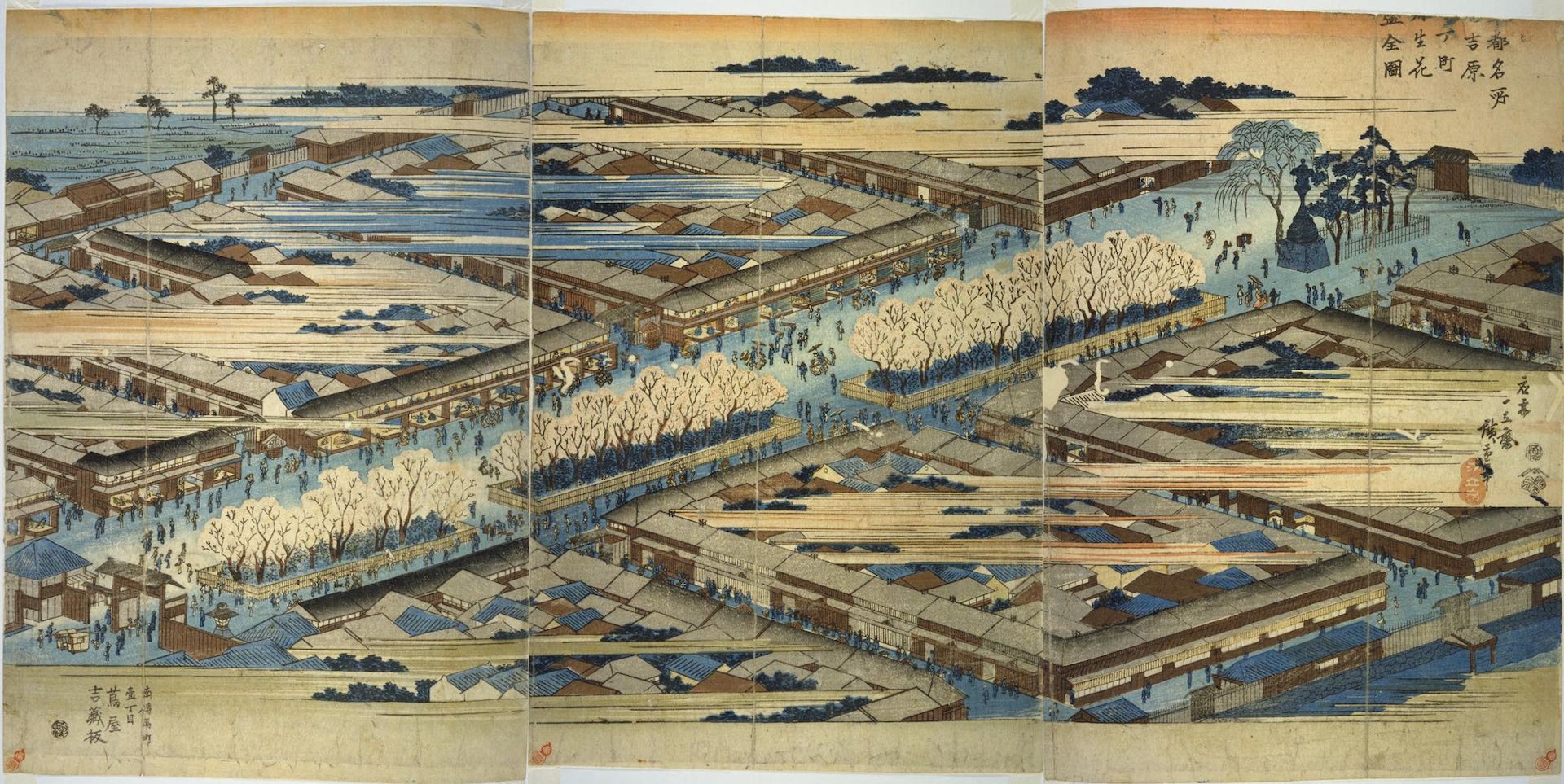
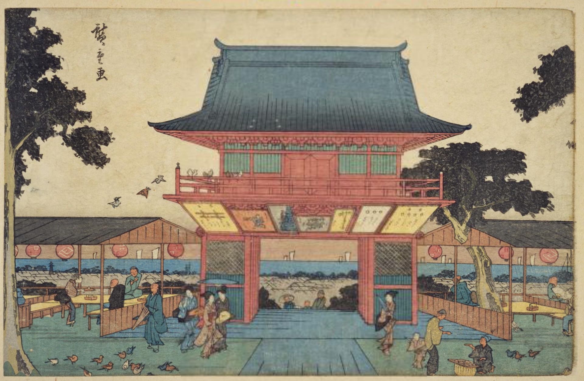
These landscapes that incorporate Mt. Fuji have long been popular as representative landscapes of Edo, and were depicted in paintings by Hiroshige, Hokusai, and many other artists.
The scale of the city of Edo, which ranked top in the world, and the level of proficiency in culture, etc., were the result of meticulous planning.
Ukiyo-e drawn by Hiroshige Utagawa
Edo Urban Axis Canal City Plan
DATA
- Category:
Urban
- Type:
Research, City plan
- Location:
Tokyo
- Team:
YDS, Tokyo Canal PT
- Size:
- Status: